From the traditional La Paz food market, we all boarded a minibus to take us to learn more about the La Paz foodshed. We began driving through the neighborhood of Sopocachi, an area in the center of the city where several universities are located. This area is home to many weekly farmers markets with prices better than grocery store prices.
We continued heading south and down (in altitude), to an area that used to be industrial but is now residential. This is the area where USAID is located. The USAID building is referred to as "the bunker" because it is so fortified. Industry has now moved to the city of El Alto.
As we drove, we saw the major river that drains the valley of La Paz, Choqueyapu, which means "the potato farm," a testament to the city's agricultural past. Today it is a dead river, and it is the dumping ground for the raw sewage of La Paz, as well as the waste of several leather factories. It drains to the Beni River, which then drains to the Madeira River, which drains into the Amazon.
By this time, we had reached the Zona Sur, the southern part of the city. This is the posh part of the city, where many of the international residents and those employed by multinational businesses live. The homes were suddenly fancy styles you might find in the United States, compared to the handmade adobe structures of the Altiplano or the brick buildings of El Alto. The Zona Sur is 400m (1300 ft) lower in altitude than the city center, giving it a warmer temperature and more oxygen. This made it attractive for agriculture in the past and makes it attractive as a place to live now. In the past, this was the best agricultural land because it is flatter and home to rich, alluvial soils.
In Zona Sur, where there are more foreigners than elsewhere in the city, there are actual supermarkets. Most of the supermarkets in all of La Paz are concentrated in Zona Sur. Our guide, Stephen Taranto, estimates about 75% of the residents here shop in the supermarkets. Here, there are only 2 farmers markets. We saw a chain called Ketal (pronounced "Que Tal"), which offered deals on Trix cereal (one box for 27.90, about US$4) in advertisements in the front of the store. From time to time, they advertise that they are "cheaper than your casera" (the vender you loyally buy from at the open air markets). Sometimes they advertise "Brand new shipment of American products" with an American flag. This, of course, erodes the markets for Bolivian products and the traditional casera relationships and increases demand for imports. Also, these supermarkets demand uniformity of their products, like supermarkets in the U.S.
Finally, we came to our destination. The landscape was barren and empty. We walked to the edge of a cliff and suddenly found ourselves overlooking farmland, the last farmland in La Paz, an area called Rio Abajo:
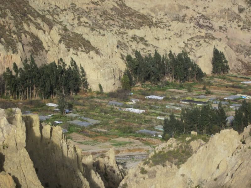
The last farmland in La Paz
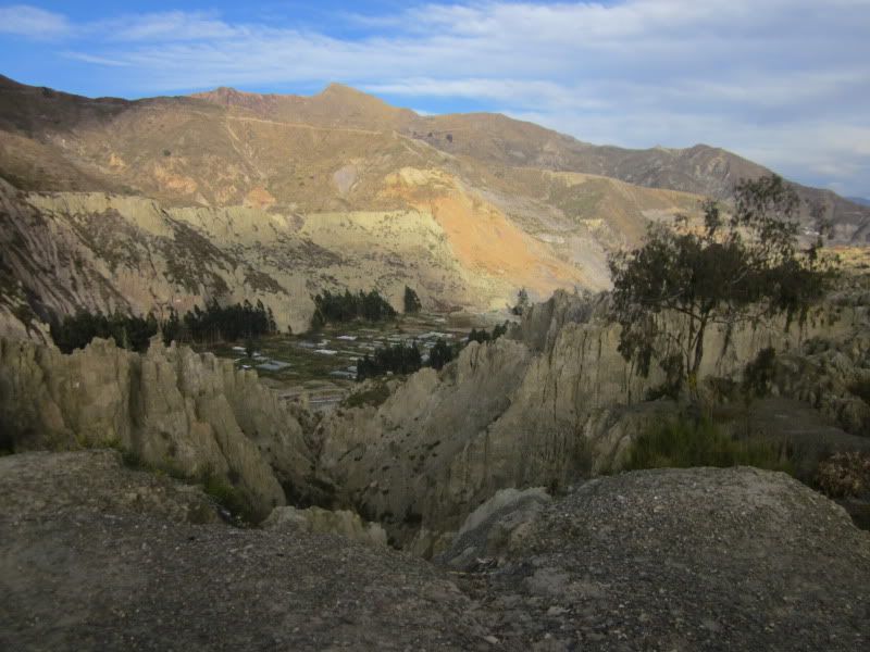
A zoomed out photo of the same area.
Stephen told us that these are the remnants of farming in the valley of La Paz. This won't be farmland for a long time, he said. He estimates it will be residential in 20 years. He said the best agricultural land is often the most attractive for homes because it is the flattest and most stable land. Families building homes on steep slopes risk landslides.
Here, the limiting factor for farming is water. These are ancient farming areas, thousands of years old, that are built along the Choqueyapu River. Still, this is about as marginal as you can get due to the lack of access to the city. The only way in and out are tiny dirt roads. In the greenhouses, they grow leafy greens. They can also grow corn here due to the lower elevation.
The way these soils are managed is by flooding them with the polluted Choqueyapu River water. This time of year, August, each farm floods its field with river water full of raw sewage. People here work with no protection and they grow crops like lettuce that come in direct contact with the soil. (Furthermore, lettuce and other leafy greens are often served raw, which means bacteria is not killed.) There is little regulation of this.
About 20 years ago, there was a cholera outbreak in La Paz. The media blamed it on these farms. It is possible, maybe likely, but never proven. Since then, in the markets, the sellers will not tell you that the food comes from here if it is from here.
We got back in our bus for one last stop. As we drove, someone in our group asked whether the trees in La Paz are native. For the most part, no. Stephen told us there are three native tree species here: Molle (known here in California, where it is invasive, as a "pepper tree"), keñua, kiswara. (The latter two can also be spelled with a "qu" instead of a "k.") Stephen also told us of a native grass called paja brava. According to a book I got on Bolivian species:
Keñua (Polylepis besseri): Several species of the genus Polylepis are known as Queñua. These are evergreen trees or shrubs that can reach heights of 10m (33 feet). The main feature is the bark, which is made of papery sheets that wrap the trunk and can be broken off easily. These papery sheets often have a pronounced brown to reddish color. The tree trunks are often crooked. Leaves may be smooth or covered completely in small hairs. Flowers usually develop in bunches in the axillary part of the plant. They tend to bloom throughout the year. The fruits are a dry achene type and contain a seed.
During this part of the trip, we found ourselves in the middle of a tent city composed of identical tents. These are families displaced by a landslide that occurred late last February. They are all still in tents, with nowhere else to go.
We began climbing in altitude once again and found ourselves overlooking Zona Sur. Thirty years ago, this was all productive land that was feeding the center of La Paz. It is fed by the Kallapa River, which is entirely fed by glacial melt. It is a tributary of the Choqueyapu and it is far less polluted.
Here, you can see the degradation of the city's ability to feed itself, as farmland and farmers are integrated into the city. You can also see the impact of climate change, as the water fed by glaciers is reduced. At the top of the Kallapa, there is one of La Paz's most important hydroelectric dams. Over the last five years, they have recorded a decrease in the amount of water available to produce electricity, to provide drinking water, and for any agricultural uses that remains.
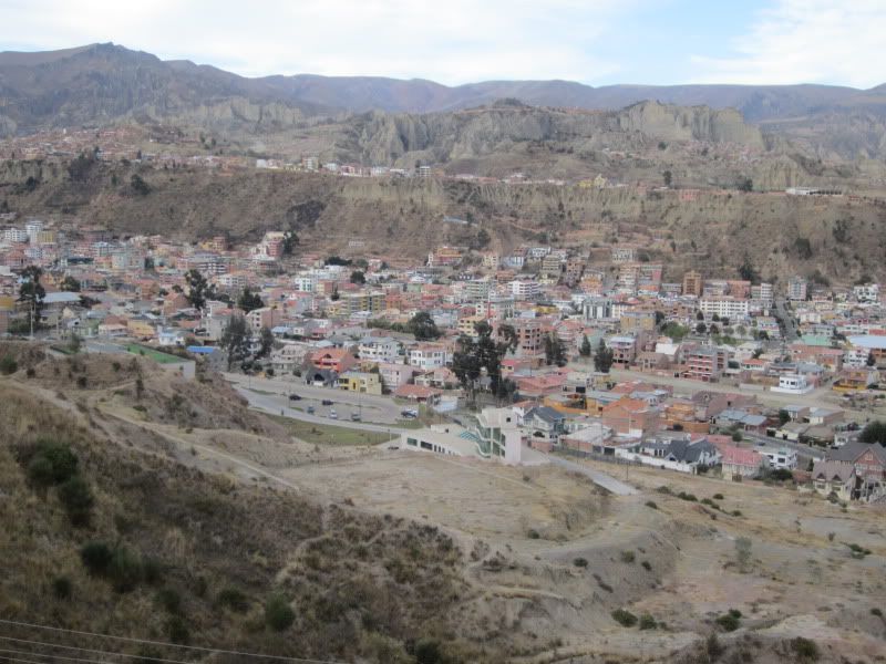
A neighborhood called Irpavi in Zona Sur
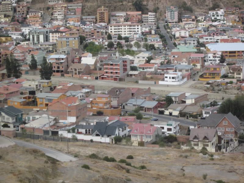
Closeup of the same area. These are very nice houses.
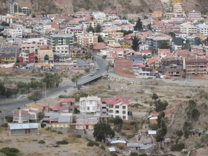
A bridge over the Kallapa River.
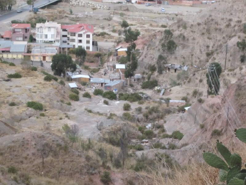
A few homes of people who are not wealthy, built in precarious locations.
As it was clear that La Paz lost most of its farmers, we asked where they went. Many became integrated into the city, becoming taxi drivers, caretakers of homes, or doing other similar jobs. One member of our tour asked if many Bolivians leave Bolivia. Stephen answered that 25 percent of Bolivians live outside of the country, mostly in Brazil, Argentina, Spain, and Arlington and Alexandria, VA.
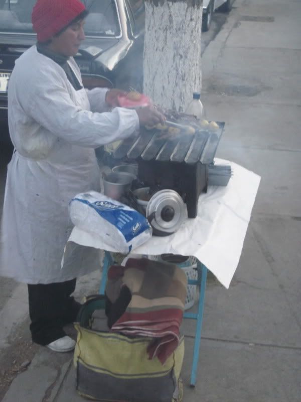
Anticucho, a Bolivian food made from shishkabob cow heart with a potato on top.
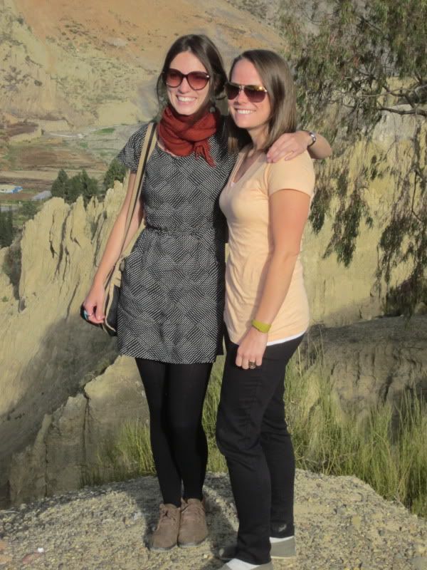
My roommates, Tanya and Christina
No comments:
Post a Comment